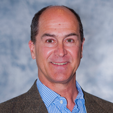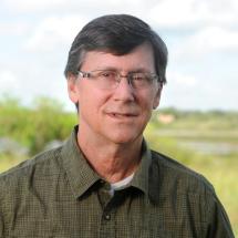
 | Principal Investigator |
 | Co-Principal Investigator |
The vision of this project is that communities occupying low-lying coastal areas of the southern US will be protected and develop in a sustainable manner through planning based on knowledge, conservation, and wise use of sensitive lands. Researchers from the University of South Florida’s College of Marine Science and the School of Geosciences at Texas A&M University – Corpus Christi, along with Google Earth Engine are collaborating with the South Big Data Hub through this project to develop more accurate, ultra-high resolution topographic, land cover, and urban environment geospatial products. The project examines in detail areas that were directly impacted by Hurricanes Harvey and Irma in 2017, and identifies flood-prone areas across the region.
